What is a harvestable rights dam under a water sharing plan?
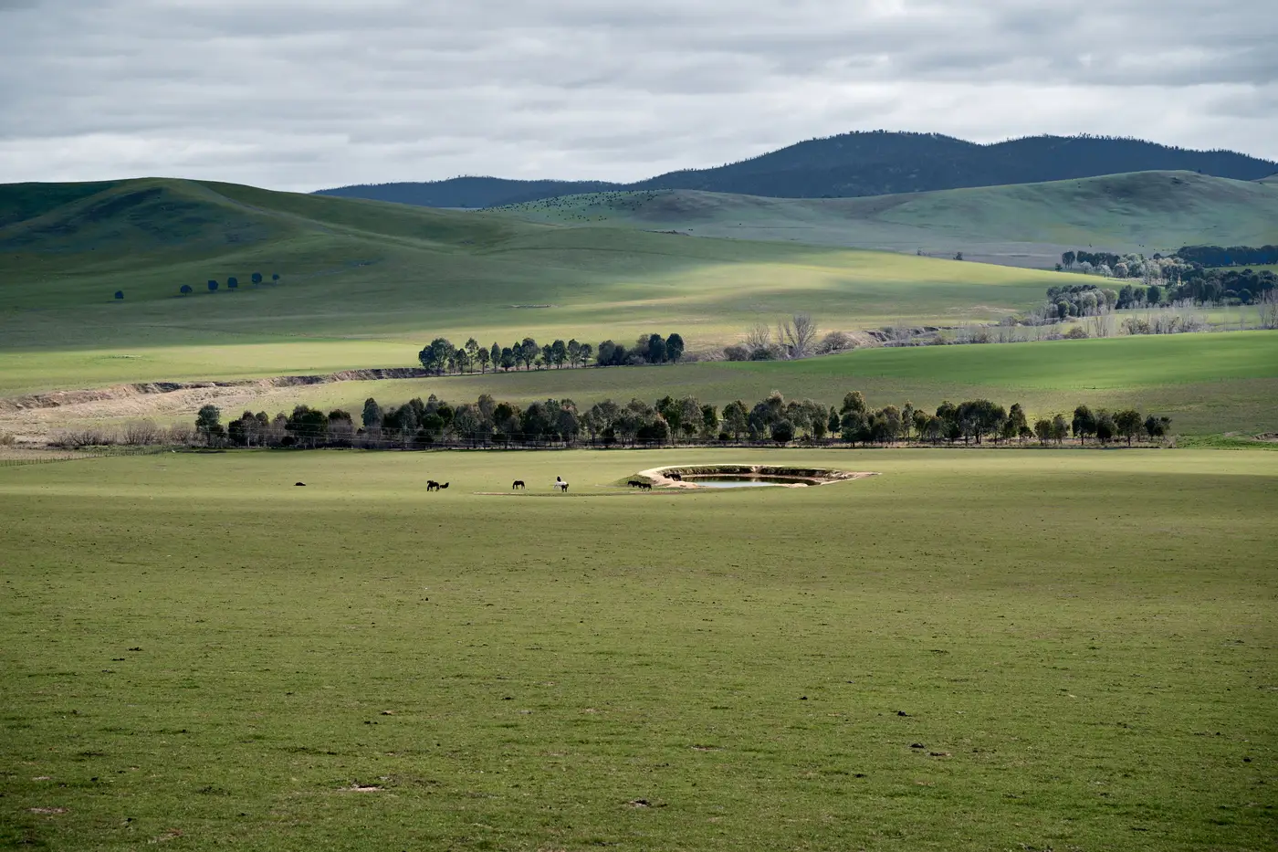
A harvestable rights dam is a storage a landholder is allowed to build and fill without a water access licence, up to a capacity worked out under the harvestable rights provisions of the relevant water sharing plan. It's the basic entitlement that sits outside the licensing system entirely. No metering, no annual return, no allocation announcement. The landholder just catches rainfall runoff off their own land and stores it.
The catch, and the reason this term shows up in every audit brief, is that the right has a ceiling. Go over it and the dam stops being exempt and starts being an unlicensed work taking water that should have gone through the entitlement system like everything else.
How the harvestable rights order sets the cap
The capacity a property is entitled to isn't a flat number. It comes out of a calculation tied to the property's area and the rainfall runoff characteristics of the water sharing plan area it sits in. The harvestable rights order for that plan sets the percentage used in the calculation, and that percentage is specific to the plan, not a state-wide constant. Two properties either side of a water sharing plan boundary can have different harvestable rights capacities for the same paddock size.
The harvestable rights limit differs from plan to plan for exactly that reason. You pull the order for the plan you're auditing, apply it to the property, and get a capacity figure for that landholder. Anything built under that figure is exempt. Anything over it needs a licence, and if there isn't one, it's a compliance matter.
A second wrinkle: harvestable rights only cover dams on first-order and minor streams capturing rainfall runoff from the landholder's own property. A dam fed by a pump off a river frontage, or one sitting across a watercourse that drains someone else's catchment too, is a different animal and usually needs a licence regardless of size. Officers checking a property against the register need to know which category a structure falls into before the capacity calculation even applies.
Where the audit actually breaks down
The compliance problem in practice is finding dams that were never disclosed, not disputing the maths on ones already known. A landholder rarely rings up to report an expanded ring tank or a second storage built over two seasons. The licence register tells you what was approved, not what's sitting on the ground today, and the gap between those two things is where unlicensed take happens.
Running the harvestable rights calculation against every property in a district is a desk exercise. Finding the structures to run it against is the field problem, and that's traditionally meant flying an inspector over every property in the plan area or waiting until a neighbour complains about a creek running dry. Neither scales to an annual audit cycle across a whole district, and neighbour complaints only surface the obvious cases, not the quiet ones tucked behind a tree line.
Checking exempt capacity against what's actually there
Water sharing plan compliance for harvestable rights comes down to matching three things: what the order allows, what the register shows was approved, and what's physically on the property. The first two are paperwork. The third is the part that usually takes a site visit to confirm, which is expensive to do for every landholder every year.
A yearly satellite pass over the catchment gives you a shortcut on that third piece. It flags storages and pumping infrastructure that don't match anything on the licence register, so the site visits you do schedule are the ones most likely to be over the harvestable rights capacity rather than a random sample of the district.
Quick answers
Does a harvestable rights dam need a licence? No, as long as it stays within the capacity set by the harvestable rights order for that water sharing plan area. Exceed it and it needs a licence like any other work.
Is the harvestable rights percentage the same everywhere? No. It's set by the order for each water sharing plan and calculated against the property's runoff characteristics, so it varies between plan areas.
If your audit list is still built around which properties haven't had an inspector drive past lately, it's worth seeing what a catchment-wide pass flags before the next site visit round.